🐈![등어]()
How one photo becomes an atlas record
1 Choose a photo
Use one you just took or already have.
2 Check it on your device
Your browser finds similar cats. If it is unsure, you confirm the match.
3 Continue the record
Add a sighting to a known cat, or start a new atlas entry.
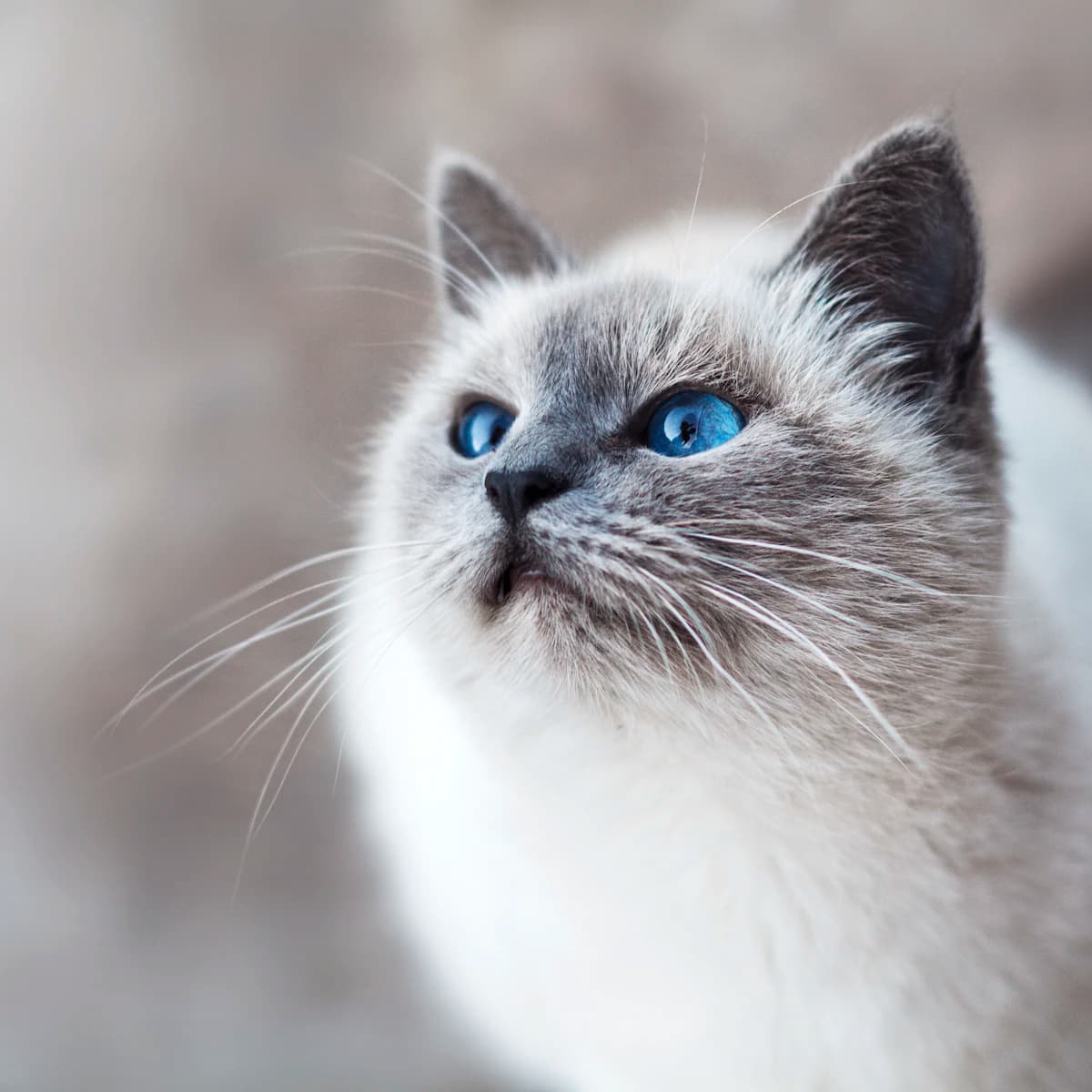
4 It becomes a page in the atlas
When the next neighbor meets the same cat, it adds to this record.
We never leave an exact pin
If a cat's exact spot gets out, it can be targeted or trapped. So this atlas only ever shows a rough 250m cell.
Frequently asked questions
Is it really free?
Yes, it's free to use.
Is a cat's exact location made public?
No. Only one rough cell snapped to a 250m grid is ever shown.
Where does the cat recognition happen?
Inside your device's browser. Only feature numbers (embeddings) go to the server — never the photo itself.
What about location data (EXIF) in my photos?
The server strips it before saving. Exact coordinates are never kept.
What if I meet a cat that isn't in the atlas yet?
Register it as a new entry. The next neighbor's sighting will build on that record.
Help this neighborhood remember its cats
Browse without signing in, and start recording whenever you are ready.